| No |
Internasional Journal (Peer Reviewed Paper) |
Download |
| 1 |
Nuarsa I Wayan, Susumu Kanno, Yasuhiro Sugimori, and Fumihiko Nishio. 2005. Spectral Characterization of Rice Field Using Multi-Temporal Landsat ETM+ Data. International Journal of Remote Sensing and Earth Science, (2):65-71.Online access |

|
| 2 |
Nuarsa I Wayan, Sandi Adnyana I Wayan, Yasuhiro Sugimori, Susumu Kanno, and Fumihiko Nishio. 2005. Development of the New Algoritm for Mangrove Classification. International Journal of Remote Sensing and Earth Science, (2):57-64.Online access |

|
| 3 |
Gede Hendarawan, I Wayan Nuarsa, I Wayan Sandi, A.F. Koropitan, and Yasuhiro Sugimori. 2005. Numerical Calculation for the Residual Tidal Current in Benoa Bay-Bali Island. International Journal of Remote Sensing and Earth Science, (2):86-93.Online access |

|
| 4 |
Takahiro Osawa, ChangFang Zhao, I Wayan Nuarsa, Swardika I Ketut, and Yasuhiro Sugimori. 2005. Vertical Distribution of Chlorophyll on Neural Netwaork. International Journal of Remote Sensing and Earth Science, (2):1-10.Online access |
|
| 5 |
Takahiro Osawa, ChangFang Zhao, I Wayan Nuarsa, Swardika I Ketut, and Yasuhiro Sugimori. 2005. Study of Ocean Primary Produstivity Using Ocean Color Data Around Japan. International Journal of Remote Sensing and Earth Science, (2):12-18.Online access |
|
| 6 |
Susumo Kanno, Yasuo Furushima, I Wayan Nuarsa, and I Gede Henrawan. 2006. A New Approch for the Tsunami Prediction Using Satellite Altimtry: Trials for Aceh Tsunami Events in 2004 and 2005. International Journal of Remote Sensing and Earth Science, (3):31-40.Online access |
|
| 7 |
Susumo Kanno, Yasuo Furushima, I Wayan Nuarsa, I Ketut Swardika, and Atsushi Ono. 2006. Estimation of Tuna Fishing Ground In Low Latitude Region Using Sea Surface Height Gradient Derived From Satellite Altimetry: Application to Northeastern Indian Ocean. International Journal of Remote Sensing and Earth Science, (3):59-79.Online access |
|
| 8 |
I Wayan Nuarsa and Fumihiko Nishio. 2007. Relationships Between Rice Growth Parameters and Remote Sensing Data. International Journal of Remote Sensing and Earth Sciences, (4):102-112.Online access |
|
| 9 |
I Wayan Nuarsa , Fumihiko Nishio, and Chiharu Hongo. 2010. Modification of Input Images for Improving the Accuracy of Rice Field Classification Using MODIS Data. International Journal of Remote Sensing and Earth Sciences, (7):36-52.Online access |
|
| 10 |
I Wayan Nuarsa , Fumihiko Nishio, and Chiharu Hongo. 2011. Spectral Characteristics and Mapping of Rice Plants Using Multi-Temporal Landsat Data. Journal of Agricultural Science. 3(1): 54-67.Online access |
|
| 11 |
I Wayan Nuarsa , Fumihiko Nishio, and Chiharu Hongo. 2011. Relationship between Rice Spectral and Rice Yield Using Modis Data. Journal of Agricultural Science. Vol 3(2): 80-88.Online access |
|
| 12 |
I Wayan Nuarsa , Fumihiko Nishio, and Chiharu Hongo. 2011. Spectral Characteristic Comparison of Rice Plants under Healthy and Water-Deficient Condition Using Landsat. Journal of Agricultural Science. ETM+ Data. Journal of The Japan Society of Photogrammetry and Remote Sensing. 50(2): 66-79. Online access |
|
| 13 |
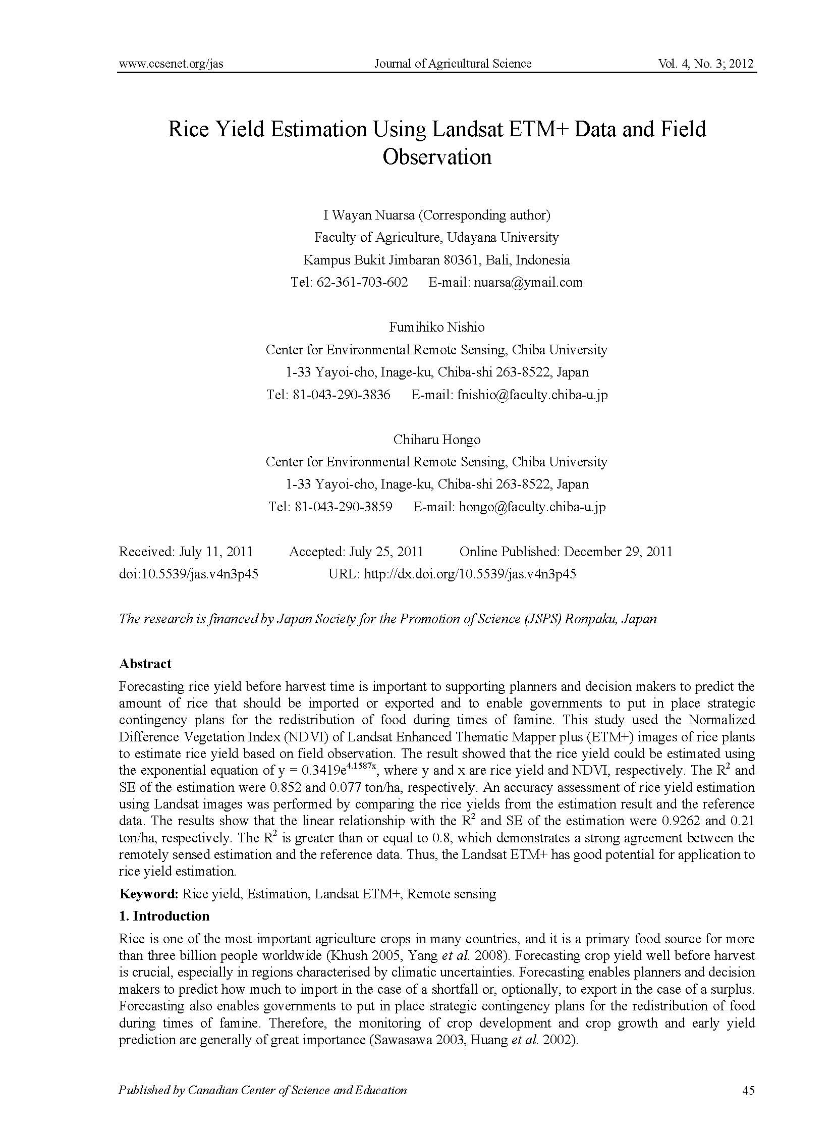
I Wayan Nuarsa , Fumihiko Nishio, and Chiharu Hongo. Rice Yield Estimation Using Landsat ETM+ Data and Field Observation. Journal of Agricultural Science, 4 (3):45-56.Online access |
|
| 14 |
I Wayan Nuarsa , Fumihiko Nishio, Chiharu Hongo, and I Gede Mahardika. 2012. Using variance analysis of multitemporal MODIS images for rice field mapping in Bali Province, Indonesia. International Journal of Remote Sensing. 33(17):5402-5417.Online access |
|
| 15 |
Ida Ayu Gde Kurnia Jayanti, Takahiro Osawa, I. Wayan Sandi Adnyana, Tasuku Tanaka, I. Wayan Nuarsa, Abd Rahman As-syakur. 2012. Multitemporal MODIS Data to Mapping Rice Field Distribution in Bali Province of Indonesia Based on the Temporal Dynamic Characteristics of the Rice Plant. Earth Science Research, 1(1):64-74.Online access |
|
| 16 |
Abd. Rahman As-syakur, I Wayan Sandi Adnyana, I Wayan Arthana, and I Wayan Nuarsa. 2012. Enhanced Built-Up and Bareness Index (EBBI) for Mapping Built-Up and Bare Land in an Urban Area . Remote Sens, 4(10):2957-2970.Online access |
 |


buy cialis